Main menu
You are here
Tatsquan/Fougner - Clayton Approach (working title)
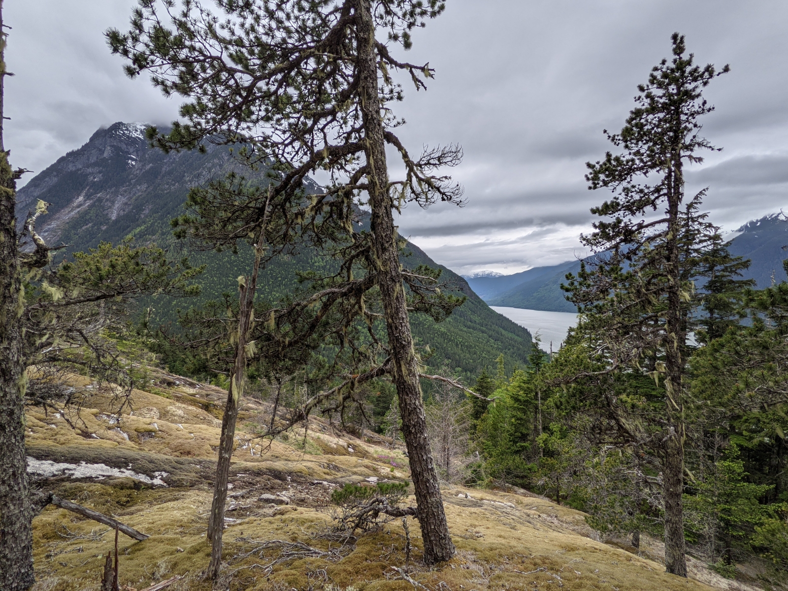
Approach of Tatsquan/Fougner mountain (not sure of Nuxalk name yet) from Clayton Creek FSR. The route follows a nice shoulder along a dry Douglas Fir timber type with great views of the North Bentinck through the trees almost the entire way. Currently the flagging stops at a very nice lookout over the North Bentinck arm at about 1050m elevation. As the mountain's profile suggests from the ground, this route is quite steep and the flagging is quite "efficient" (ie. very little switching back).
There is ample parking on a small landing just after the steep part at the beginning of Clayton FSR (near the BC Hydro penstock area) and the route has been flagged to avoid the private property to which it is adjacent.
The intent is to finish this route summer 2021 flagged/marked to the summit, and have it linked up the "Tatsquan West" trail to form an alpine loop easily doable in one day.
***Sorry, only one random pic, I will take more next time!***
Last updated: June 9, 2021
Comments
many bugs. please fix. thx.