Main menu
You are here
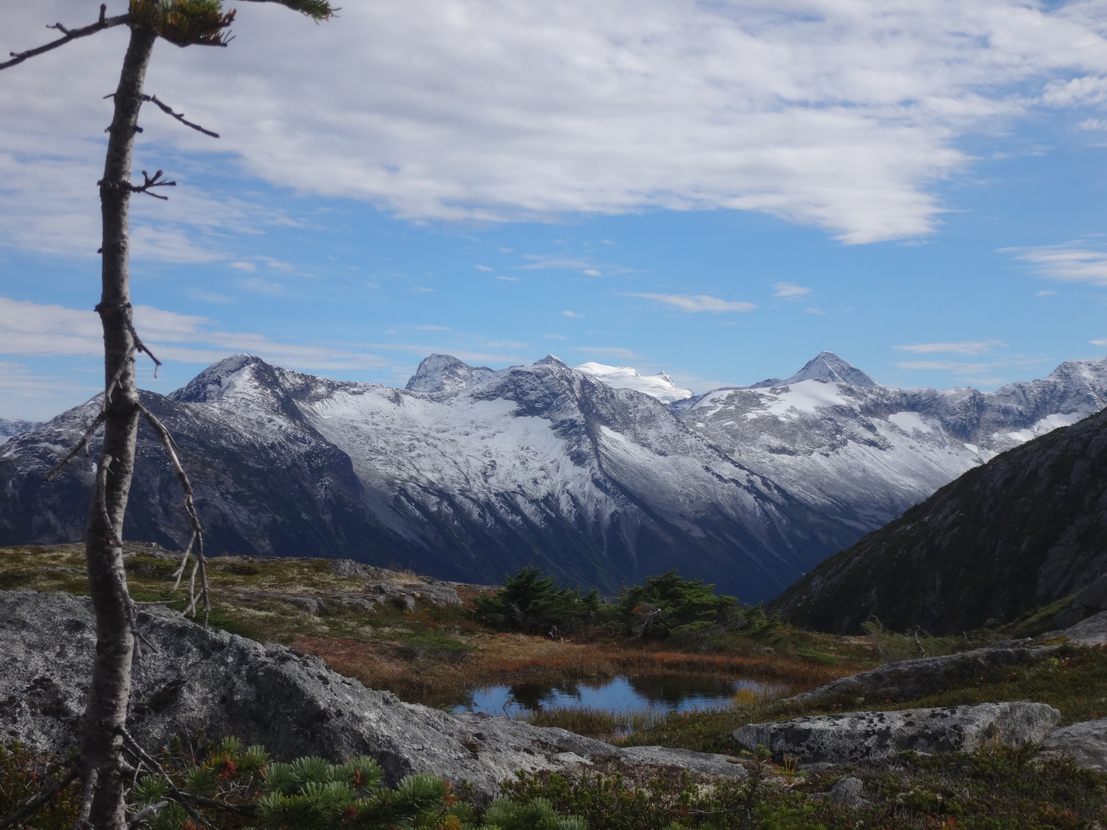
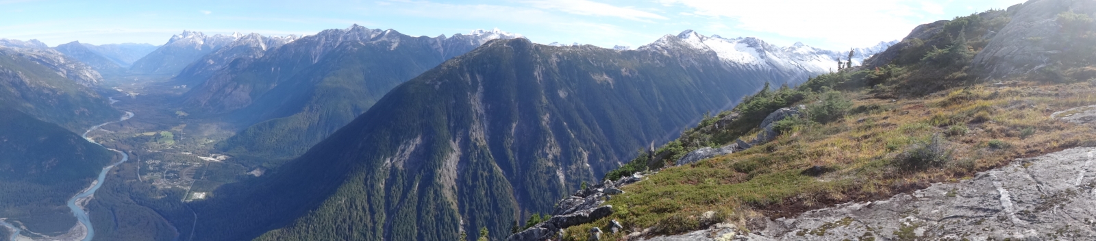
Tatsquan Traverse
Incredible natural circuit following the ridgeline of the Tatsquan watershed. Start and finish from downtown Bella Coola.
+/- 3600m of elevation gain/loss and ~30km of distance. Recommended time is 3 days.
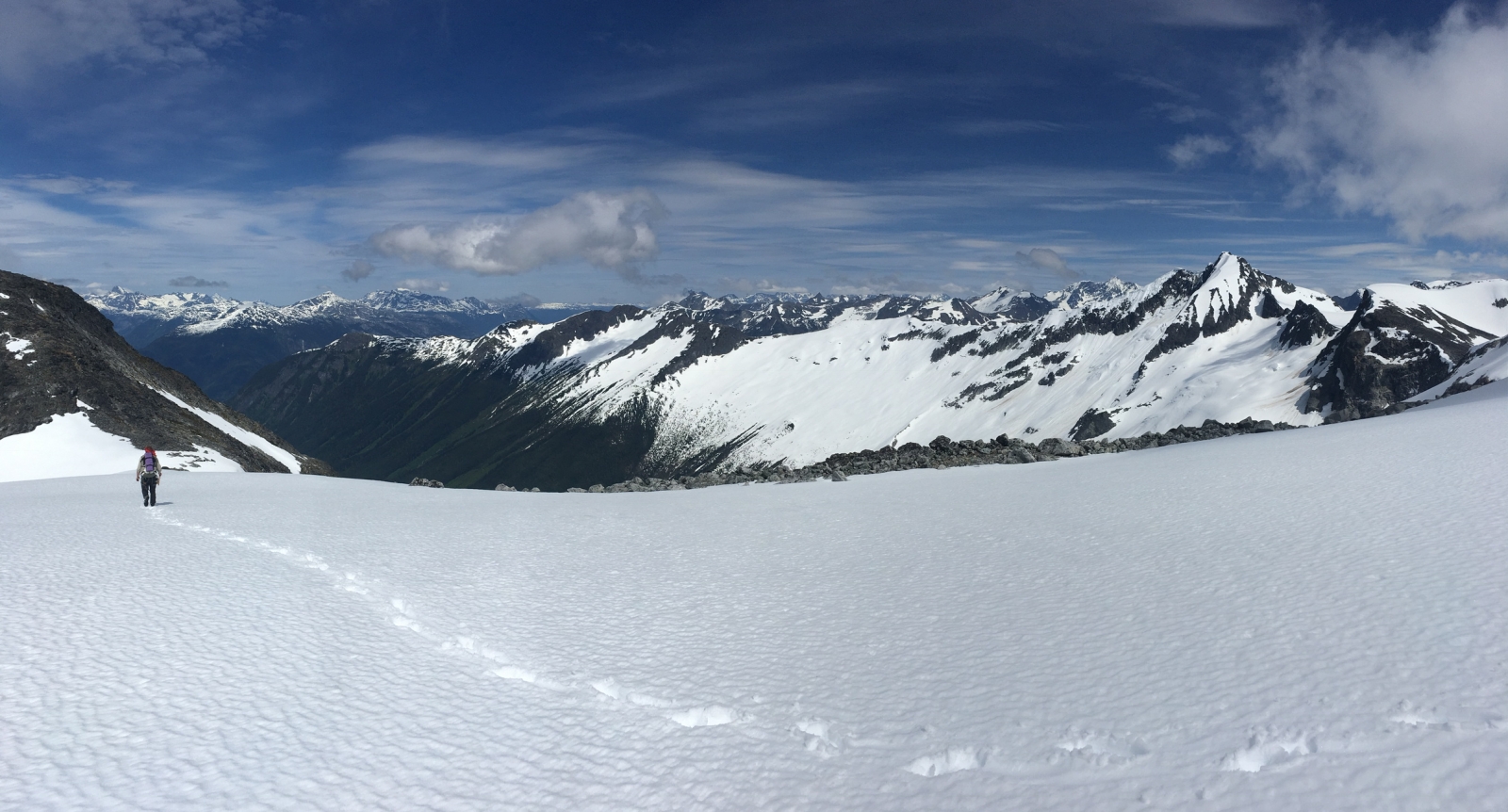
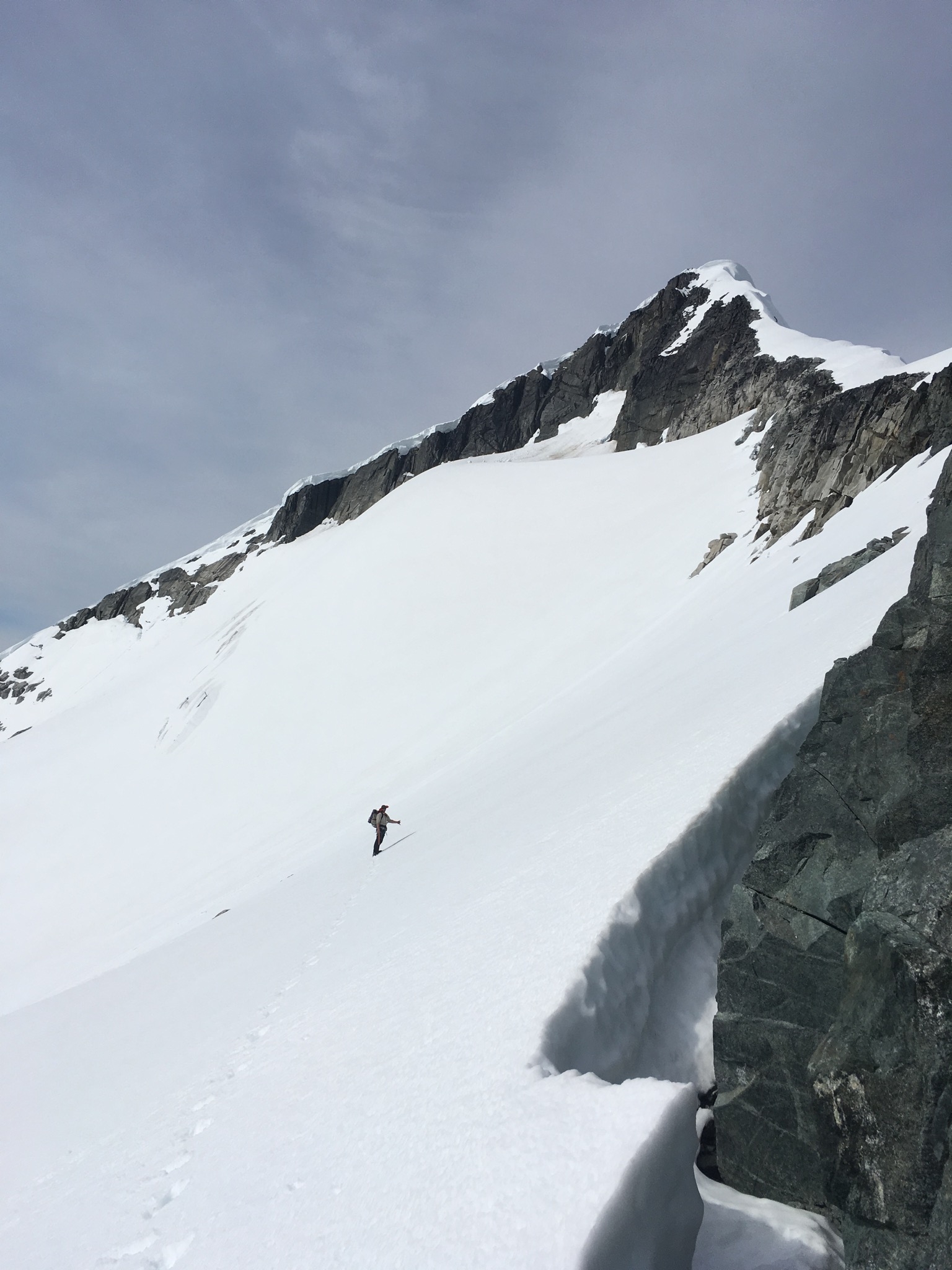
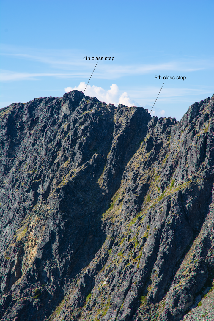
The circuit can be done clockwise (east to west) or counterclockwise (west to east). Which direction you take will dictate how you interact with the main crux of the route, which are a few exposed 4th and low-5th steps on a section of ridge about 7.5km in if starting from the east. Clockwise involves a down-climb or short rappel, where-as going counter clockwise would mean climbing the section.
A recommendation would be to bring a lightweight rope kit for this section and do a small lower or rappel. The rope can be used for glacier rescue if needed as there is one crossing on a mundanely flat glacier. If you plan to solo climb this section, going counterclockwise feels more comfortable than down-climbing it.
Overall the route has a lot of hiking and simple but fun scrambling through 3rd class terrain. Route finding skills are a must for navigating the scrambling and rock steps but overall navigation is simple as you just follow the ridge for the near entirety of the route.