Warning - information presented here is contributed by users and has not been verified or evaluated for accuracy or safety. Use caution and proceed at your own risk!
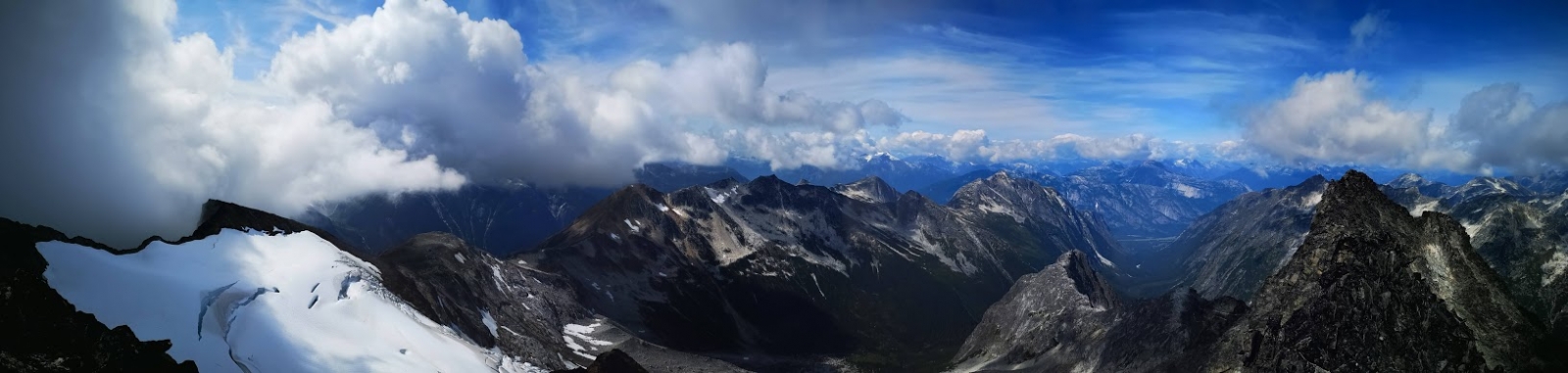
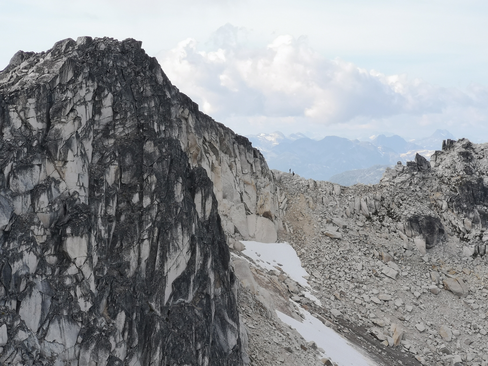
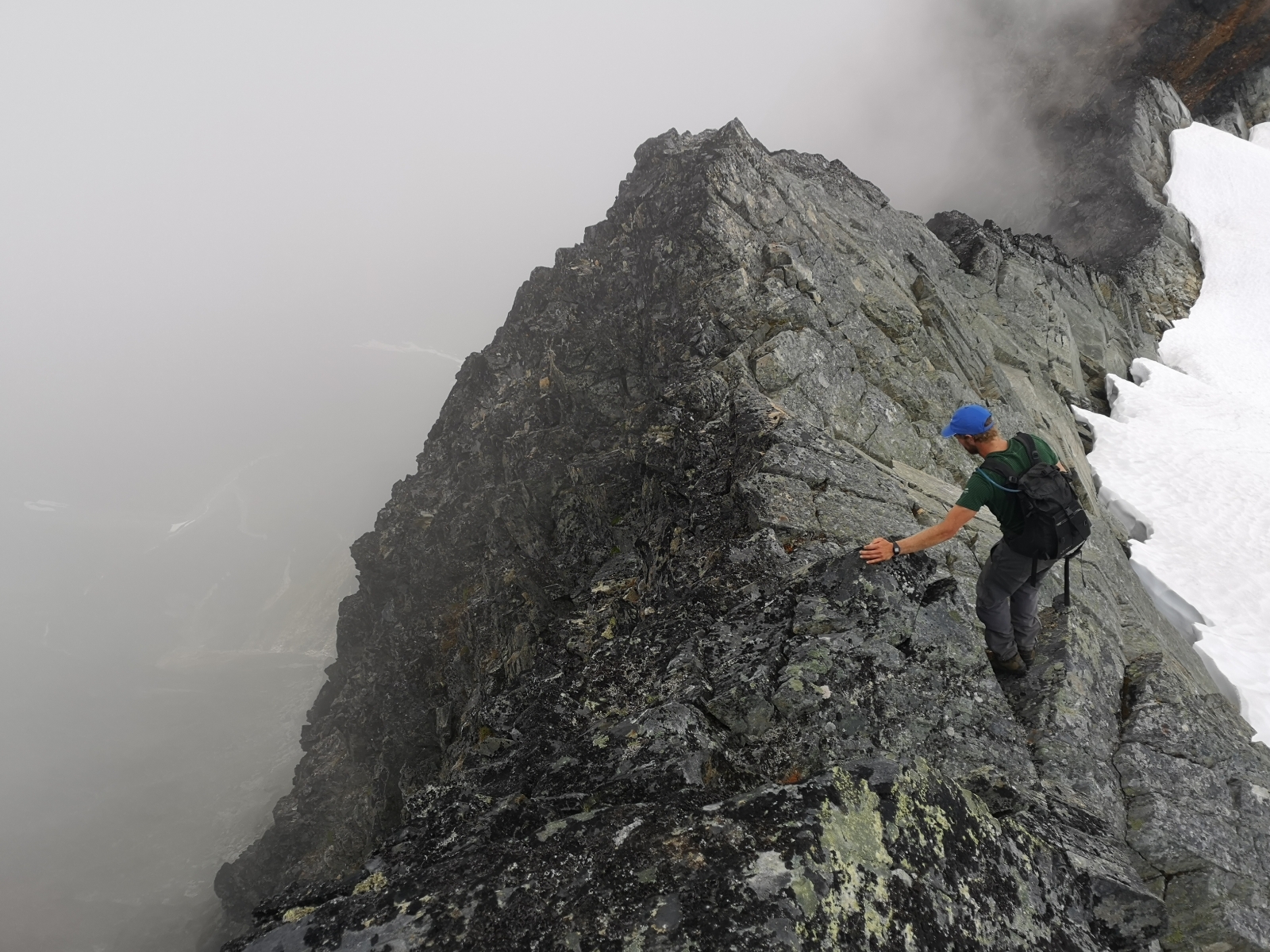
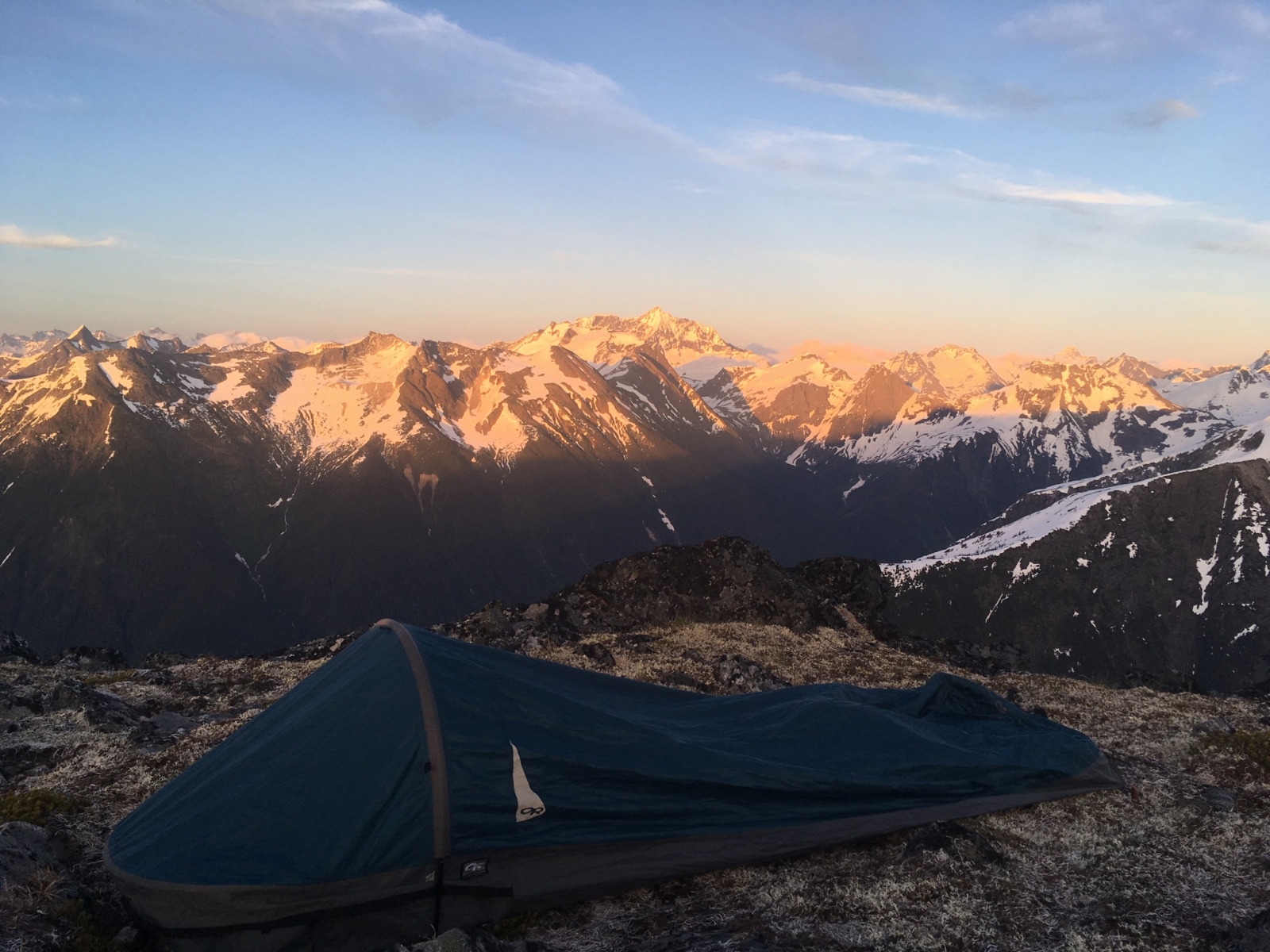
An alpine ridge tour de force. All-day on a summit. Miles of ridge-walking, with some short technical sections and some sections of loose/rotten rock. Some parties may want to bring a rope and light rack for short sections.
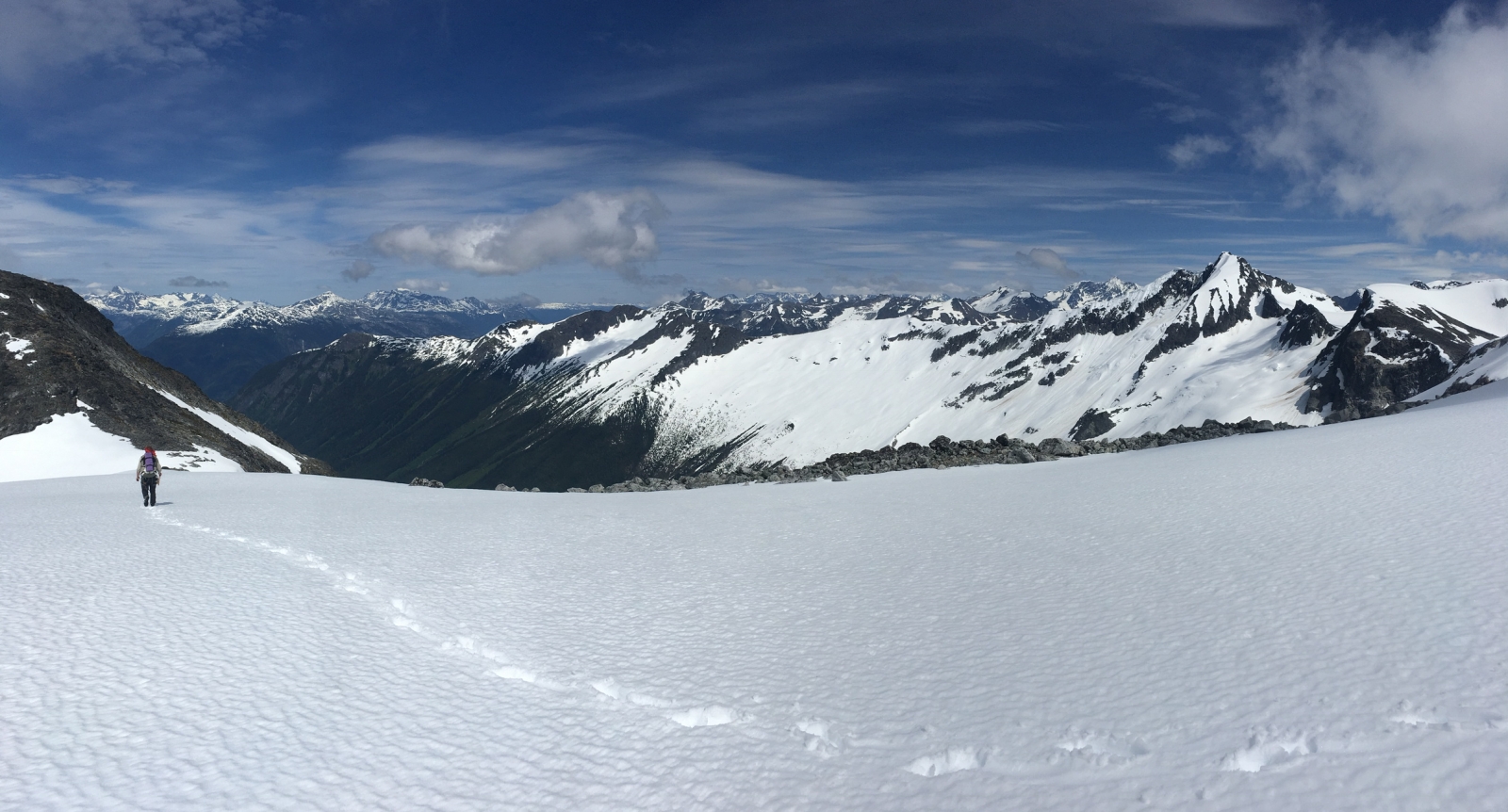
Note: Exiting the Snooka Lakes bowl depends on snowpack levels; in low snow conditions, start from the upper of the three Snooka lakes (https://bellacoolatrails.ca/content/snooka-lakes), head to the south end of the lake, then up not-so-pleasant looking dirt and scree slopes until gaining a south-trending series of clean granite ramps. The dirt slopes are not as bad as they look, and the granite ramps are excellent and make for fast travel. Continue up the ramps until the ridge.
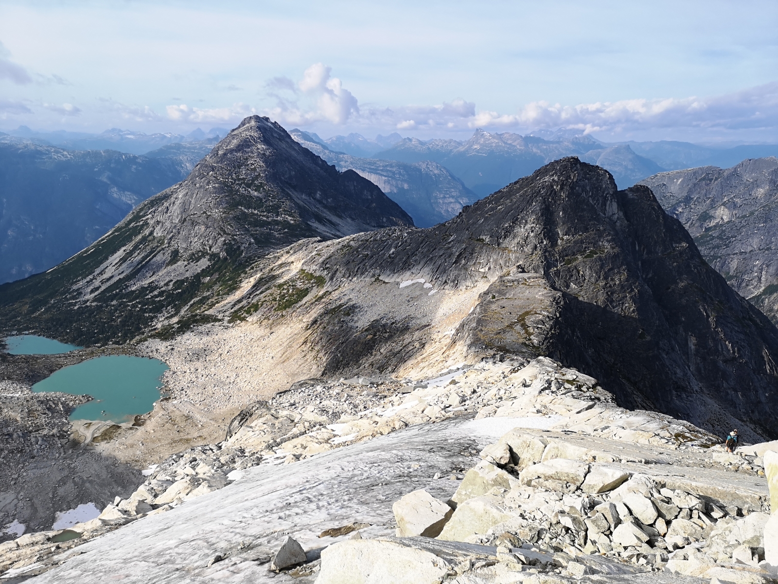
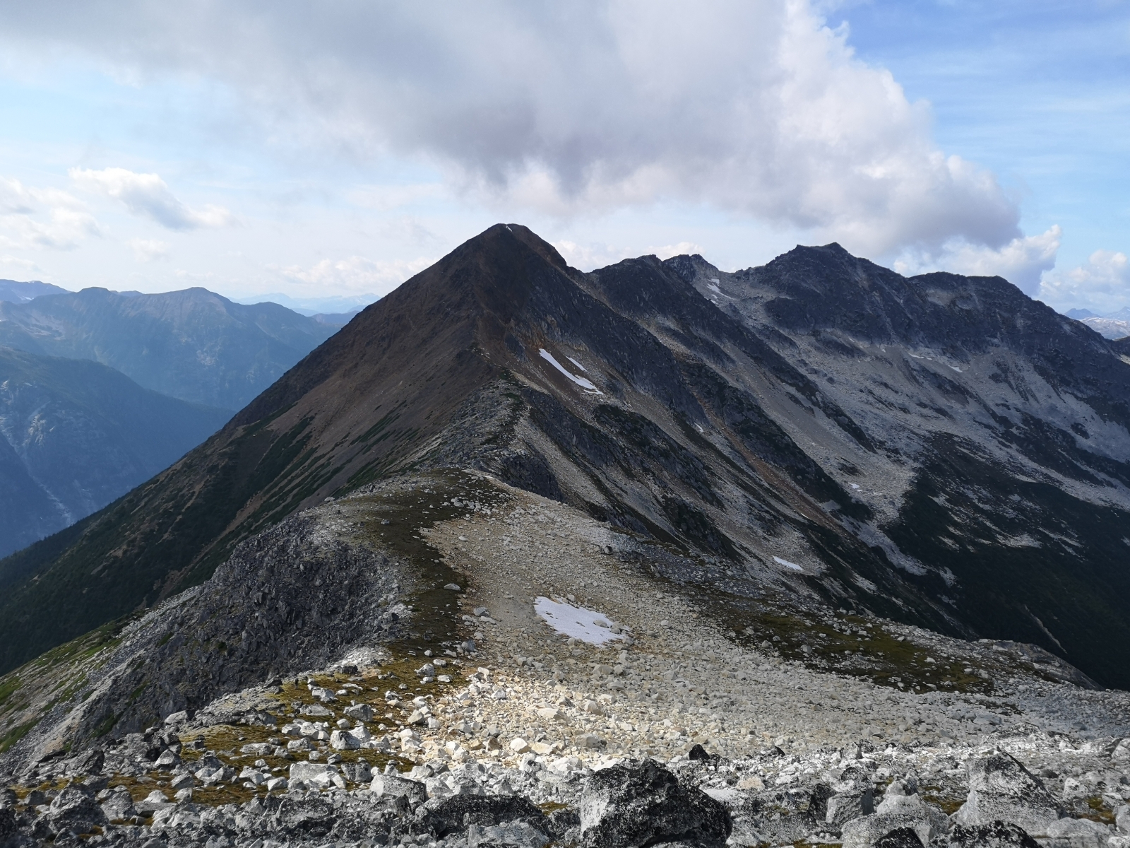
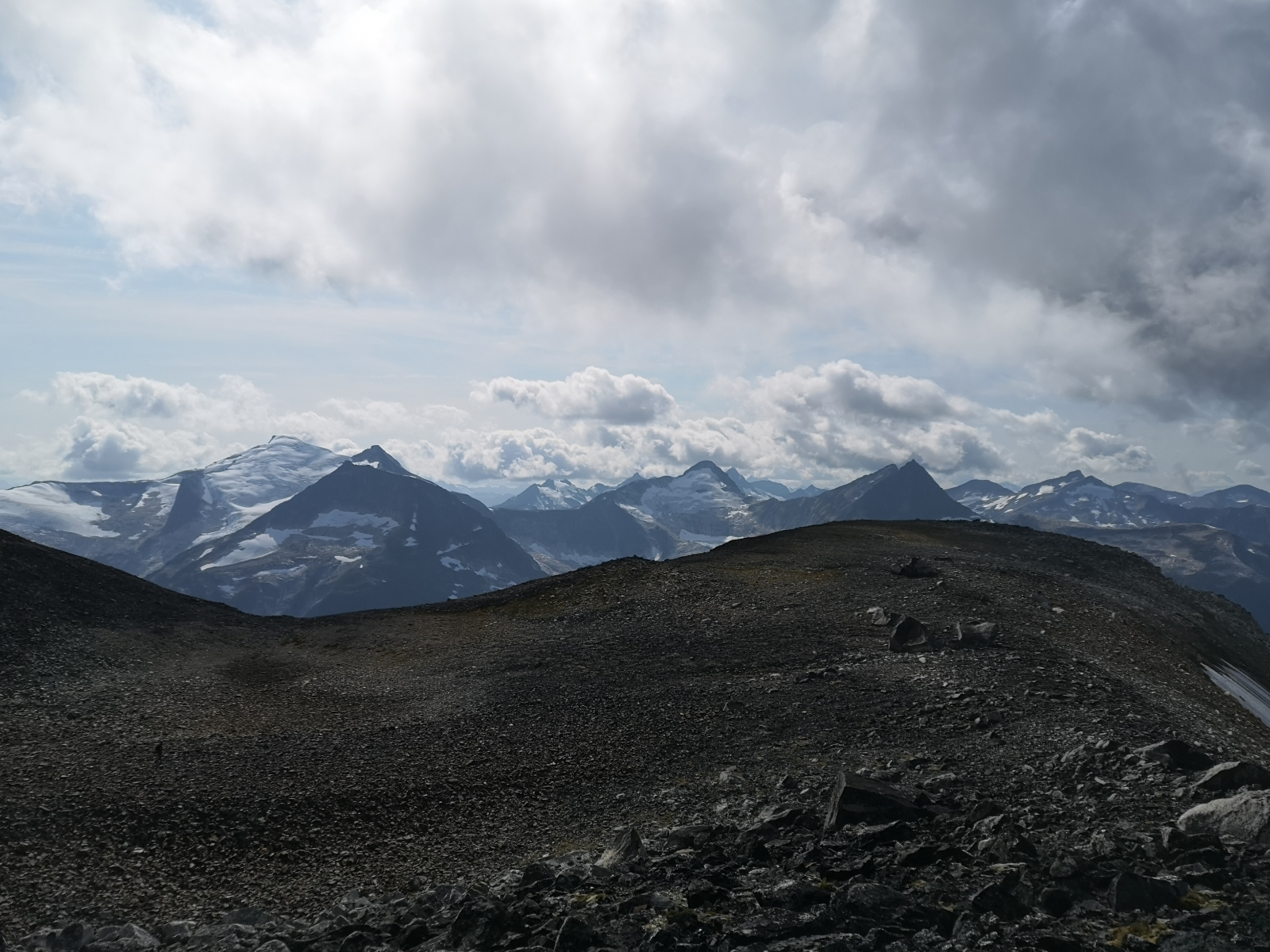
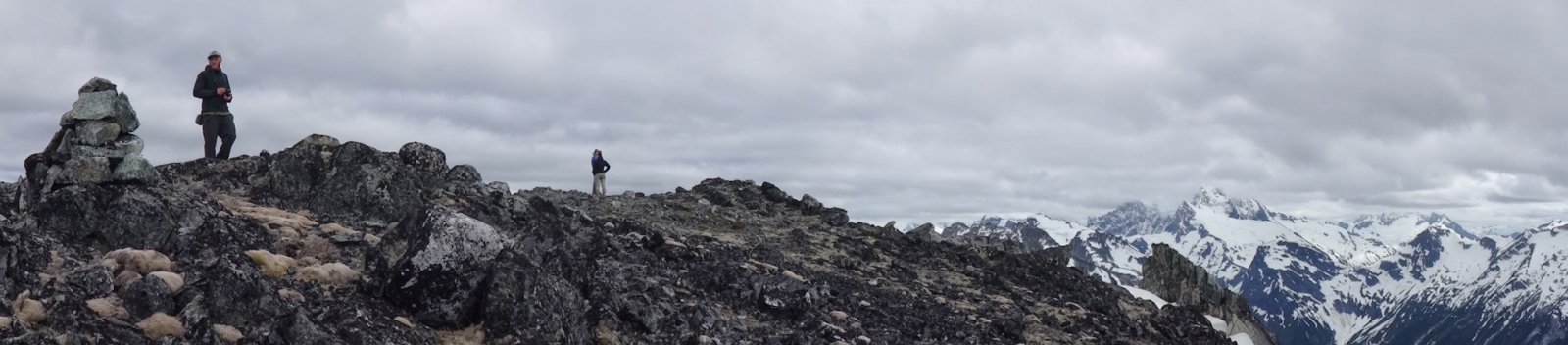
Continue on this ridge more or less the rest of the way, over several intermediate peaks, to Snootli peak itself.
Incredible natural circuit following the ridgeline of the Tatsquan watershed. Start and finish from downtown Bella Coola.
+/- 3600m of elevation gain/loss and ~30km of distance. Recommended time is 3 days.
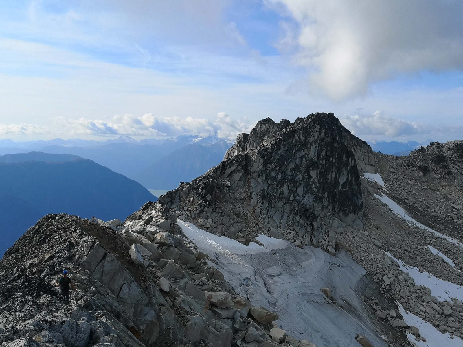
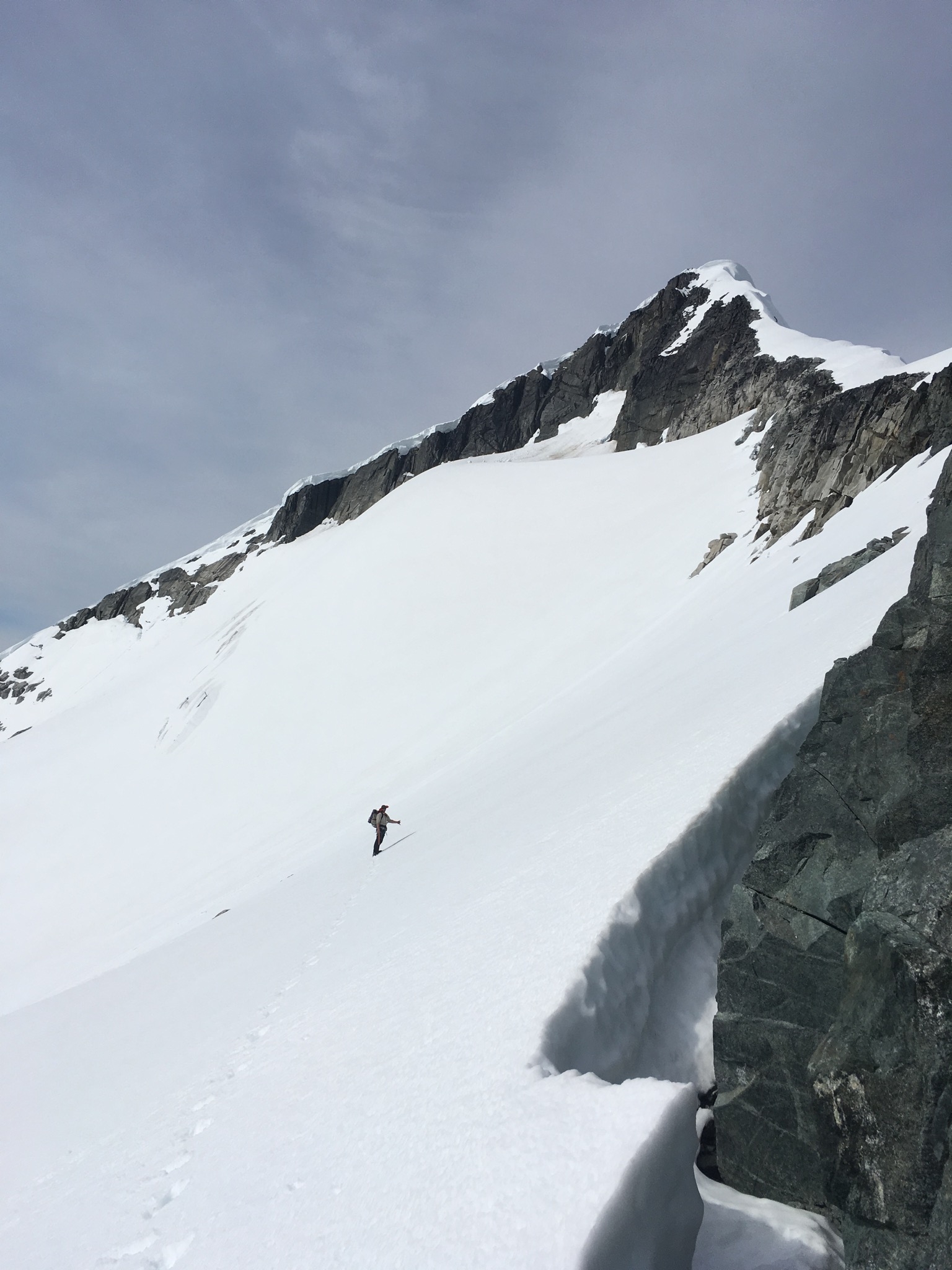
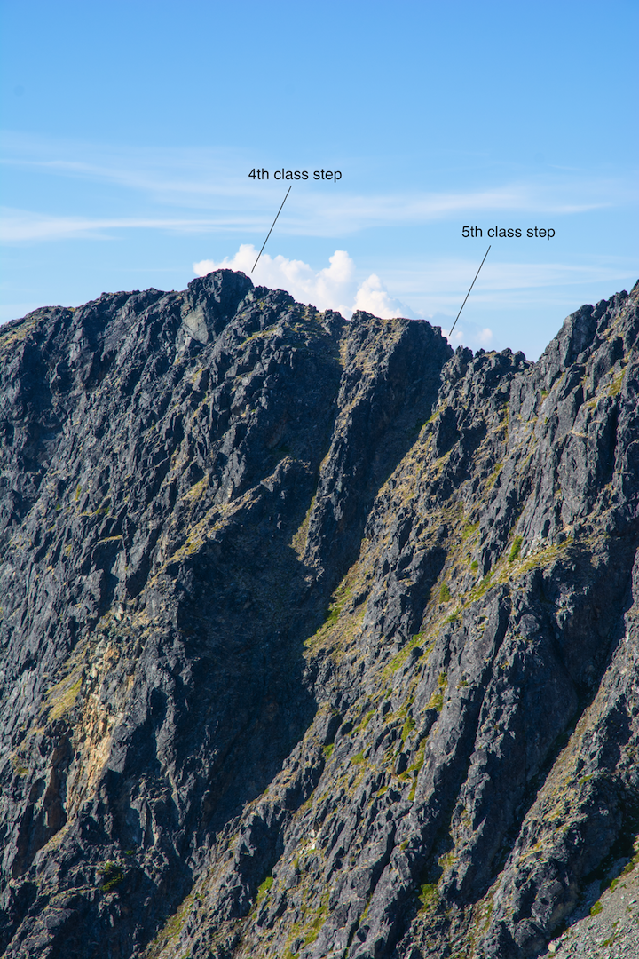
The circuit can be done clockwise (east to west) or counterclockwise (west to east). Which direction you take will dictate how you interact with the main crux of the route, which are a few exposed 4th and low-5th steps on a section of ridge about 7.5km in if starting from the east. Clockwise involves a down-climb or short rappel, where-as going counter clockwise would mean climbing the section.
A recommendation would be to bring a lightweight rope kit for this section and do a small lower or rappel. The rope can be used for glacier rescue if needed as there is one crossing on a mundanely flat glacier. If you plan to solo climb this section, going counterclockwise feels more comfortable than down-climbing it.
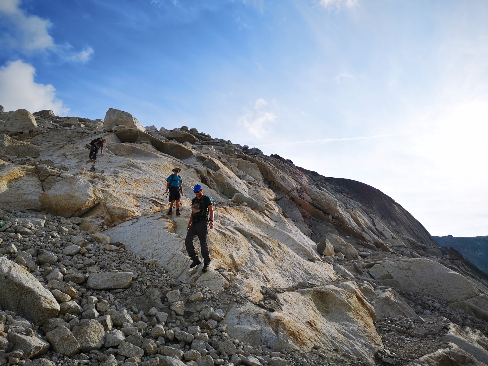
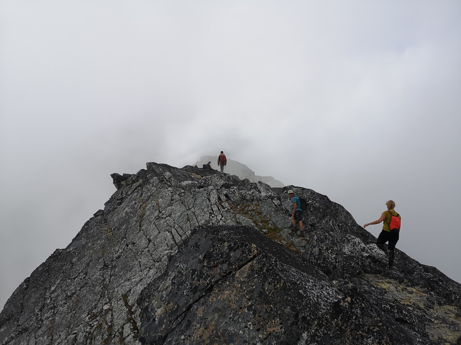
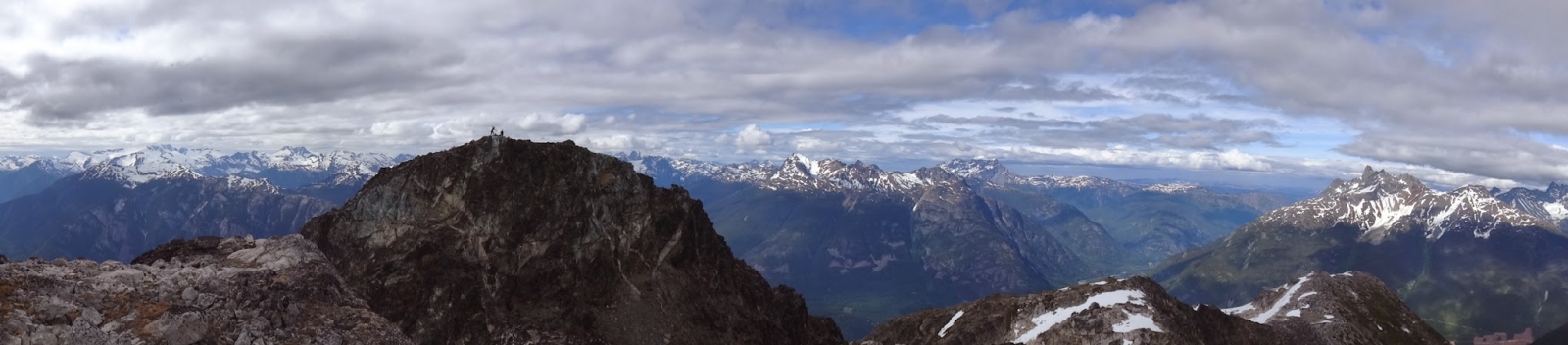
Overall the route has a lot of hiking and simple but fun scrambling through 3rd class terrain. Route finding skills are a must for navigating the scrambling and rock steps but overall navigation is simple as you just follow the ridge for the near entirety of the route.
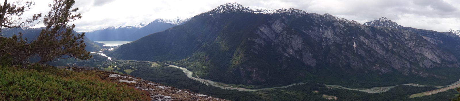
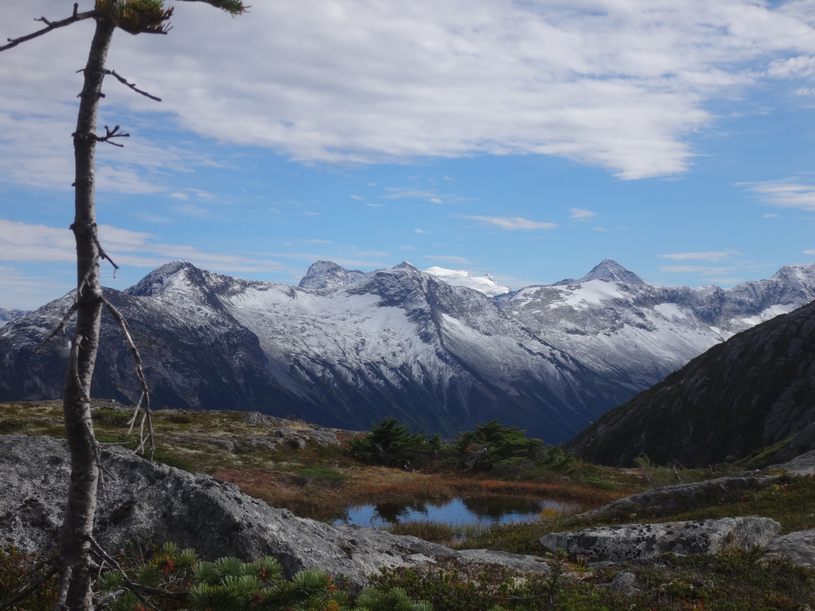
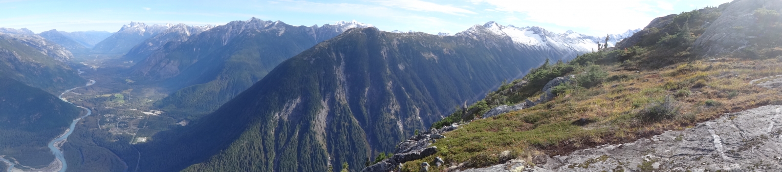
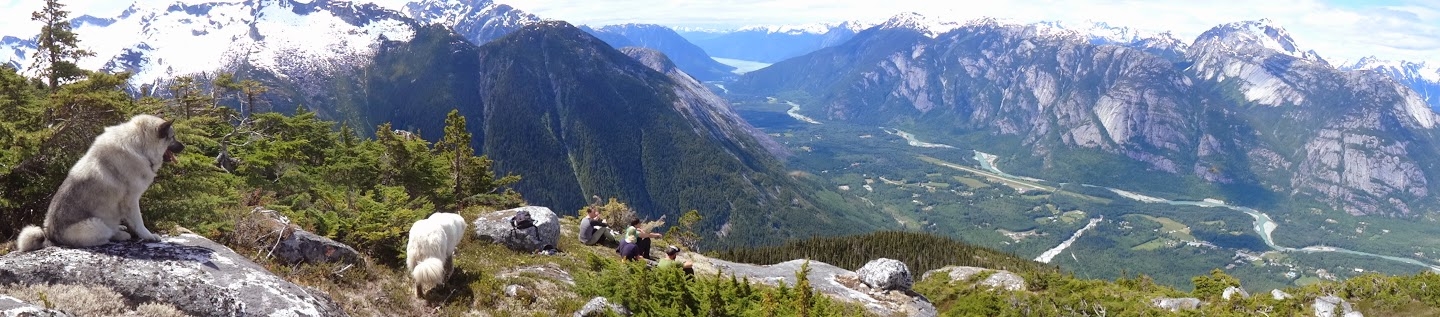
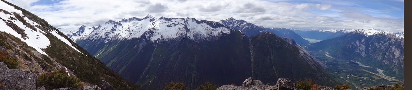
An alpine walk thru the sky; beautiful terrain and great views of the Bella Coola valley.
Gain the Northwest ridge via the Hagensborg Loop Trail; leave the loop trail east of the quarry, up the right side of a creek and into timber, avoiding a cutblock to the right. Traverse gradually rightwards to the true ridge line, and then up a sometimes-faint but friendly trail up through interesting features, various stands of timber and broad ledges. Forage your way through the subalpine to a magnificent broad ledge at about 1600m. Continue slightly right of the north ridgeline through alpine boulder fields and bands of meadow. Depending on the snowpack, move upwards as seems reasonable through snowfields, ledges and gullies to the broad summit.